Stilisierte Karte von Rheinhessen

Bechtolsheimer Klosterberg

The name is based on the adjacent location on the Petersberg, on which stands a pilgrimage church.

facts and figures

Vineyard: 51 hectare Community: Sea level: 140-230 m Exposure: Turning Southwest to Northwest
Region:
Nierstein

soil types

Marl / pelosol

Clay marl pelosol

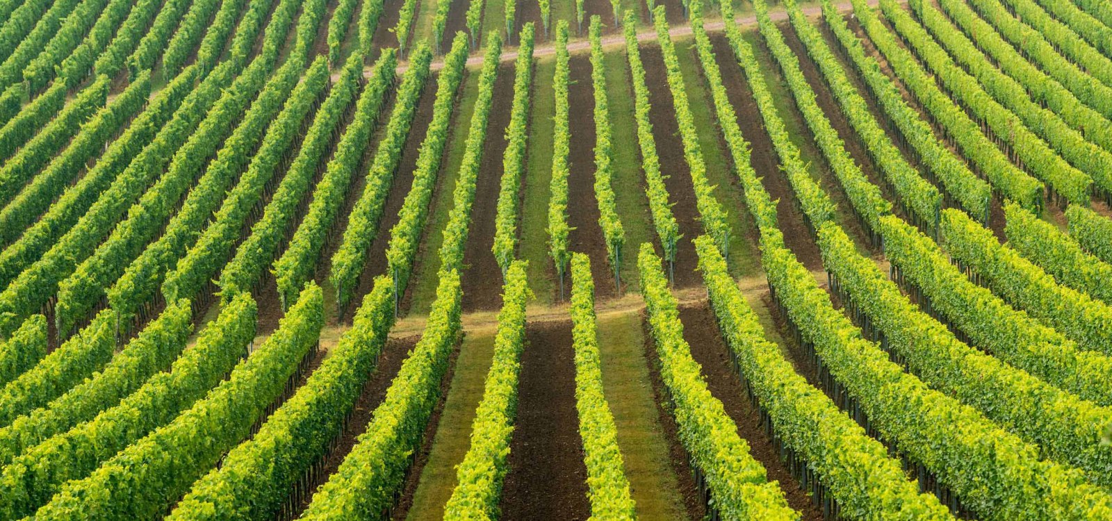
Lime-rich clayey deposits of the teritary sea

Deep, calcareous clay soil with a high proportion of swellable clay, lower storage capacity for soil water available to plants, limited water permeability and ventilation, nutrient-rich, very calcareous, moderate warmability, difficult to root through

Full-bodied, dense, rich, moderate acidity, creamy enamel. Expressive, ripe, mango, apricot, honeydew melon, apricot. Less minerality, more fruity, full-bodied sustainability

learn more

Explore the area

Hiking tours
back

Kulturweg Petersberg

The 7 km circular walk around the Petersberg lies between Bechtolsheim and Gau-Odernheim. The Petersberg belongs with 246 m to the highest elevations of Rheinhessen. At its summit is the ruins of the 10th-century St. Peter's Church with the once three-nave basilica on the "Mons beati petri", which was destroyed during the Thirty Years' War until then because of its special crypt But the underground crypt of St. Peter's can still be relived as an impression of space: two replicated staircases illustrate the processional character of the historic crypt, and since 2009 an alternative route to the St. Jacob's Way in Rheinhessen Over the Petersberg, two relaxation loungers and the wine tables invite hikers on this route for a break.

learn more